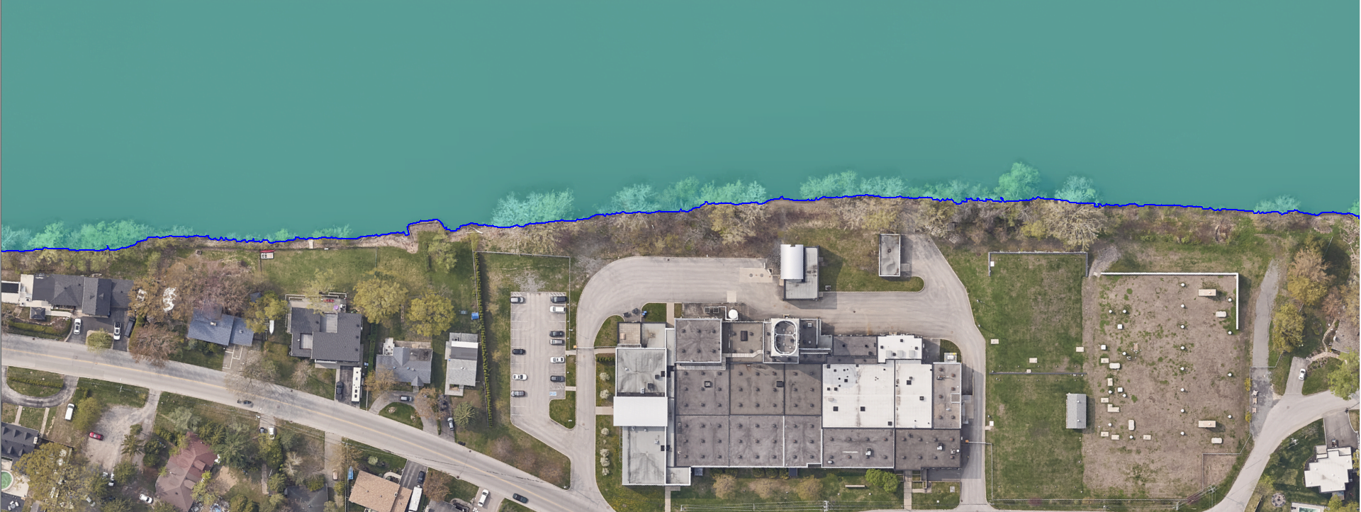
Water Boundaries
River mapping provides you with the exact delimitation of water bodies such as rivers and lakes.
Product features :
The water body boundary map is extracted from a LiDAR point cloud classified by artificial intelligence using a patent-pending method developed by XEOS Imaging.
It does not correspond to the legal high-water mark, but to the actual boundary of the water body at the time of the LiDAR survey. Mapping is generally accurate, even under forest cover.
Mapping is delivered in the form of 2D polygons.
For whom : All professionals who need to know the exact position of water bodies.
File format: .SHP (2D polygon)
To view the terms and conditions of use, please refer to our general user license.
Order online :
