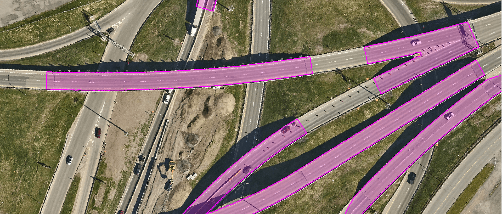
Bridge and viaduct decks
Mapping of bridge and viaduct decks gives an exact delineation of these infrastructures in 2D.
Product features :
The mapping of bridge and viaduct decks is extracted directly from a LiDAR point cloud classified by artificial intelligence using a patent-pending method developed by XEOS Imaging.
These polygons are used in particular to subtract these infrastructures from the digital terrain model.
For whom :
- Municipalities
- Civil engineers
File format : .SHP (2D polygon)
To view the terms and conditions of use, please refer to our general user license.
Order online :
