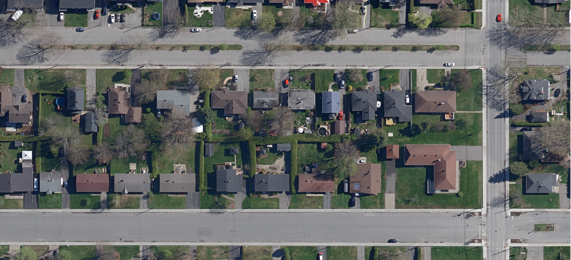
Orthomosaics
Orthomosaics are an assembly of aerial photographs in which the images are rectified at ground level only. All objects above ground level (buildings, poles, trees, etc.) are not rectified.
Rectification is used to correct scale for differences in terrain elevation, image distortion due to lens deformation and perspective due to fields of view.
Product features :
- Image resolution: 5 cm to 30 cm
- Planimetric accuracy at ground level: 1 pixel (EMQ)
- Cut into 1 km x 1 km tiles
File format : GeoTIFF (.TIFF) compatible with most geomatics softwares
To view the terms and conditions of use, please refer to our general user license.
Order online :
