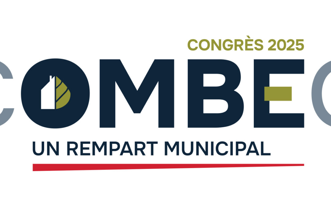
by Maria Guillaud | May 9, 2025 | Blog
We are proud and grateful to have been chosen as the “Favourite Exhibitor” by attendees of the COMBEQ conference! On April 10 and 11, we had the pleasure of attending the COMBEQ – Corporation des officiers municipaux en bâtiment et en environnement du Québec...
by Maria Guillaud | May 9, 2025 | Blog
It’s official! XEOS Imaging has been selected to join Canada’s official delegation led by Scale AI to VivaTech 2025, Europe’s largest tech event. We are honoured to represent Canadian innovation in artificial intelligence and technology in Paris from June 11 to 14,...

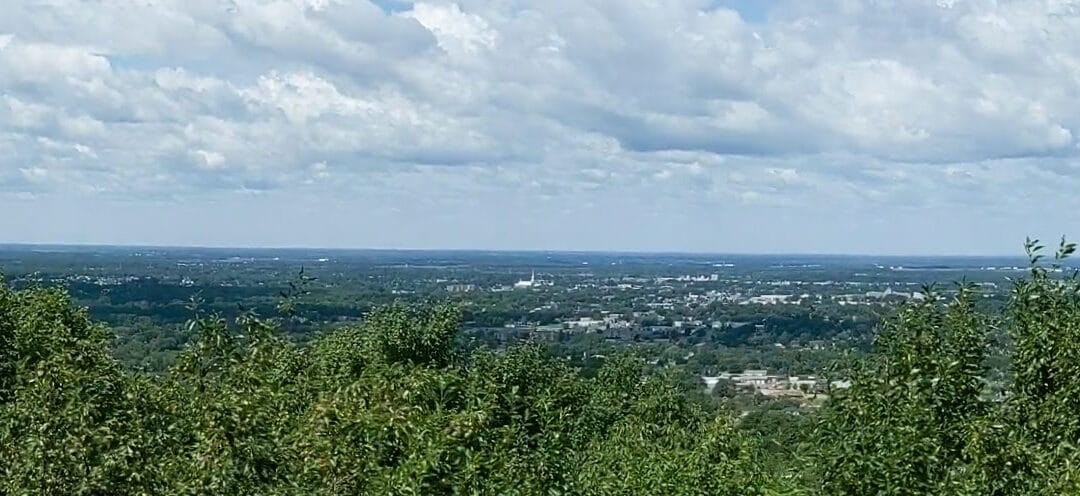
by Maria Guillaud | Jan 17, 2025 | Blog
In 2023, the City of Rimouski began updating its urban plan, a key document for organizing the development of its territory over a 20-year period. However, existing mapping data was limited, often obsolete or imprecise. For example, the municipality had no precise...
by Maria Guillaud | Jan 9, 2025 | Blog
On May 1, 2024, Victoriaville launched an ambitious plan to mitigate the effects of heat islands, supported by innovative eco-tax measures and mapping solutions from XEOS Imaging. The plan also aims to maintain a high level of well-being for residents, supporting the...
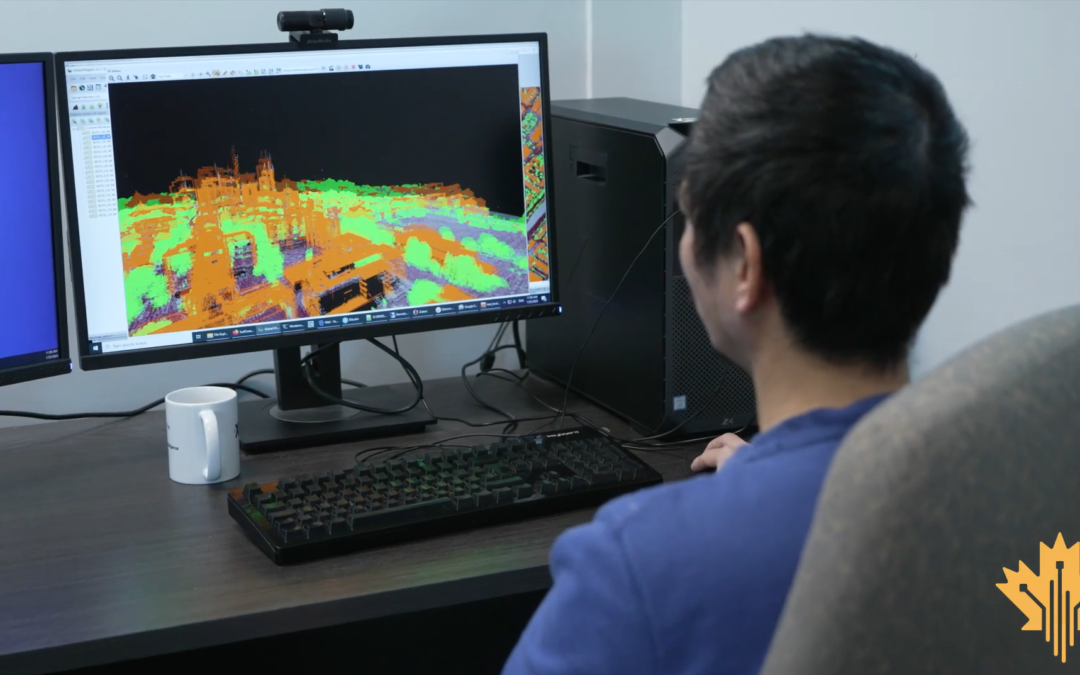
by Maria Guillaud | Dec 3, 2024 | Blog
At XEOS, we are proud to benefit from the support of the Government of Canada in our development and innovation initiatives. The Canadian Digital Adoption Program (CDAP) has enabled us to invest in the automation of certain tasks. Discover in this video how this...
by kyra_ursa | May 31, 2024 | Blog
XEOS Imaging is delighted to announce that we will be the main partner for the third edition of Rendez-vous Géomatique 2024, which will be held in Trois-Rivières from October 28th to 30th. XEOS Imaging is recognized as an expert in artificial intelligence mapping,...
