Equipment
All XEOS Imaging equipment is inspected and calibrated on a regular basis by the manufacturer. To ensure stability, the equipment is permanently installed in aircraft especially adapted by XEOS Imaging for aerial imagery and LiDAR survey purposes.
Each flight mission is done by an experienced camera/LiDAR system operator who has all the requisite knowledge to manage and control the equipment and the software in the aircraft. In addition, all flight missions are flown by pilots highly experienced in aerial imagery and LiDAR surveys.
Aircraft
XEOS Imaging uses Piper Navajo PA-31-310 aircraft specifically adapted for aerial photography and LiDAR survey projects. Our aircraft are equipped with perfectly calibrated sensors and GPS/inertial navigation system.

Camera
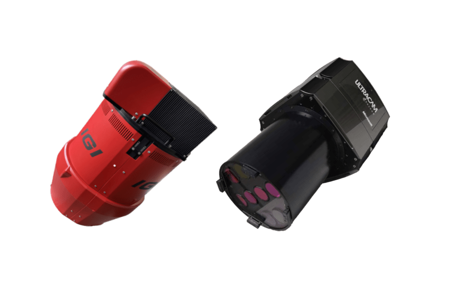
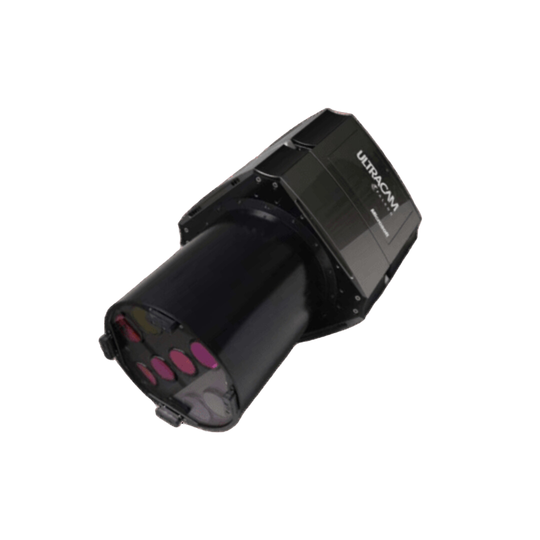
XEOS Imaging operates an UltraCam Falcon Prime camera from Vexcel Imaging.
Ultracam Falcon Prime


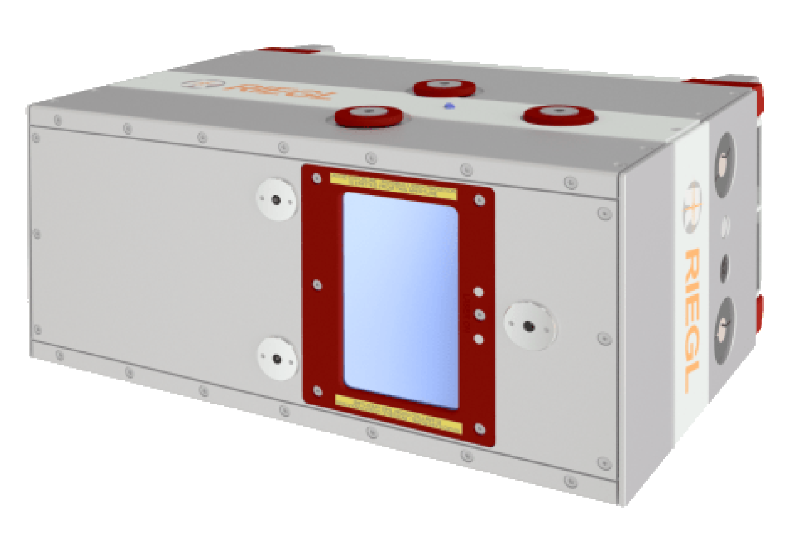
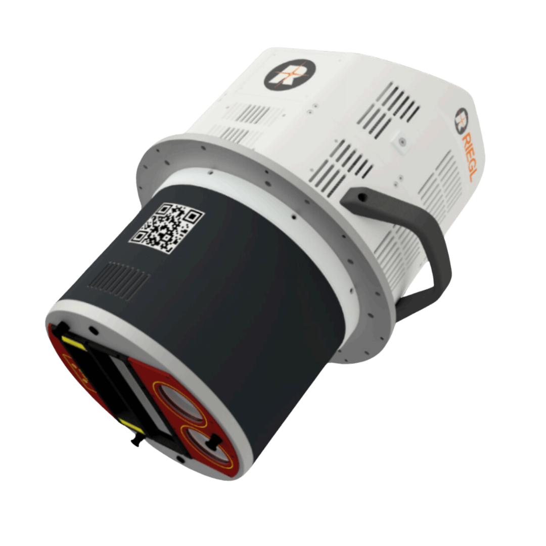
Riegl VQ-1460

LiDAR
XEOS Imaging acquires LiDAR data with a 4.4MHz Riegl VQ-1460 laser scanner.
