
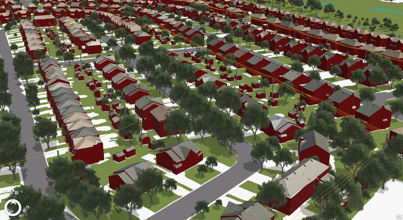
3D Buildings (LOD2.2)
(Available starting October 27, 2026)
LOD2.2 3D buildings represent buildings in three dimensions, with a detailed representation of their roof structure, including features such as dormers. The walls are then created by extending the roof outlines down to the ground.
Product features :
The accurate reconstruction of 3D buildings is based on XEOS’s AI technology, patented in Canada, Europe, and the United Kingdom (2026). It is also patent-pending in the United States and Australia.
Each building is modeled in 3D to accurately represent its geometry, including:
- The overall building volume;
- The different roof surfaces;
- Changes in roof slope and height.
The following attributes are associated with each building:
- Height
- Area (m²)
- Number of floors
The following attributes are associated with each roof surface:
- Area (m²)
- Aspect (orientation relative to north)
- Slope
The data can therefore serve as a basis for numerous 3D analyses, including:
- 3D city modeling;
- Photovoltaic solar potential assessment;
- Calculation of rainwater catchment areas on flat roofs for stormwater network engineering;
- Shadow and sunlight analysis;
- Firefighter intervention planning in the event of a fire.
For whom :
- Municipalities and urban forestry managers;
- Land-use planners;
- Architects;
- Land surveyors;
- Insurance companies.
File format : CityGML or 3D Shapefile (“Multipatch”)
To view the terms and conditions of use, please refer to our general user license.