
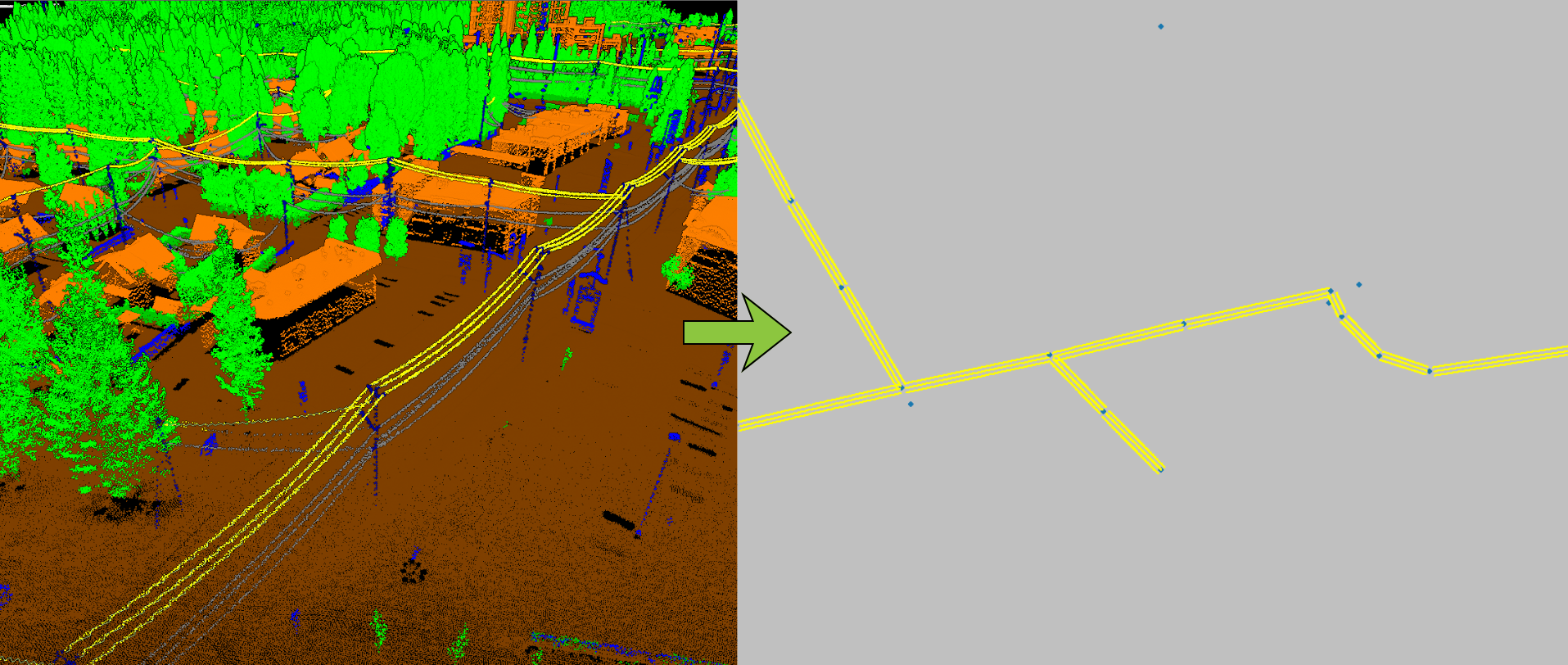
Medium-voltage power distribution lines
The mapping of medium-voltage power distribution lines provides a detailed representation of medium-voltage electrical wires, span by span, as well as the utility poles.
Product features :
This type of mapping illustrates :
The mapping of medium-voltage power distribution lines is extracted from a LiDAR point cloud classified using XEOS Imaging’s AI technology, patented in Canada and Europe and patent-pending in the United States and Australia.
This type of mapping illustrates:
• Medium-voltage conductors
• Conductor attachment points on poles
• Pole center points
Clearance and hazardous tree analysis around conductors can also be performed separately.
Accuracy depends on the lidar data source. Using XEOS’s proprietary configuration, it is possible to achieve approximately 10 cm precision in XY.
For whom :
• Power distribution companies
• Municipalities and public utilities
• Tree-trimming and network maintenance companies
• Surveyors and engineering firms
• Etc.
File format: • 3D .SHP or .DWG (3D polyline) for conductors
• .SHP or .DWG (point) for supports
To view the terms and conditions of use, please refer to our general user license.
Order online :